
Bathymetry of shallow water using multispectral images taken from UAV This article describes the research activity conducted by…
A comparison between UAV and high-resolution multispectral satellite images for bathymetry estimation We proudly share this interesting study on…
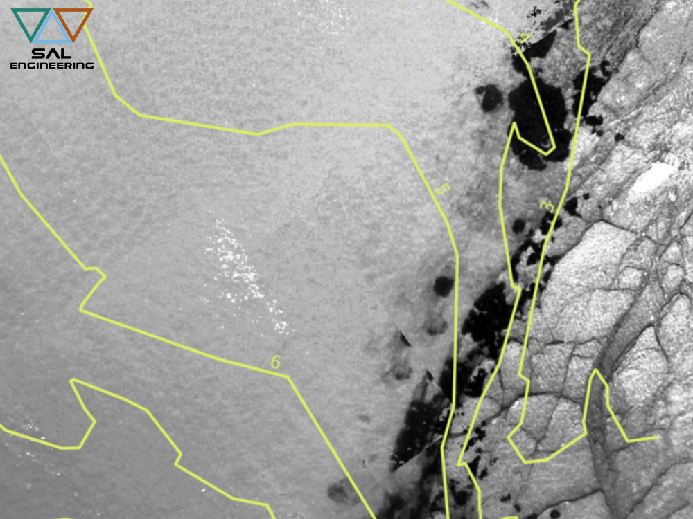
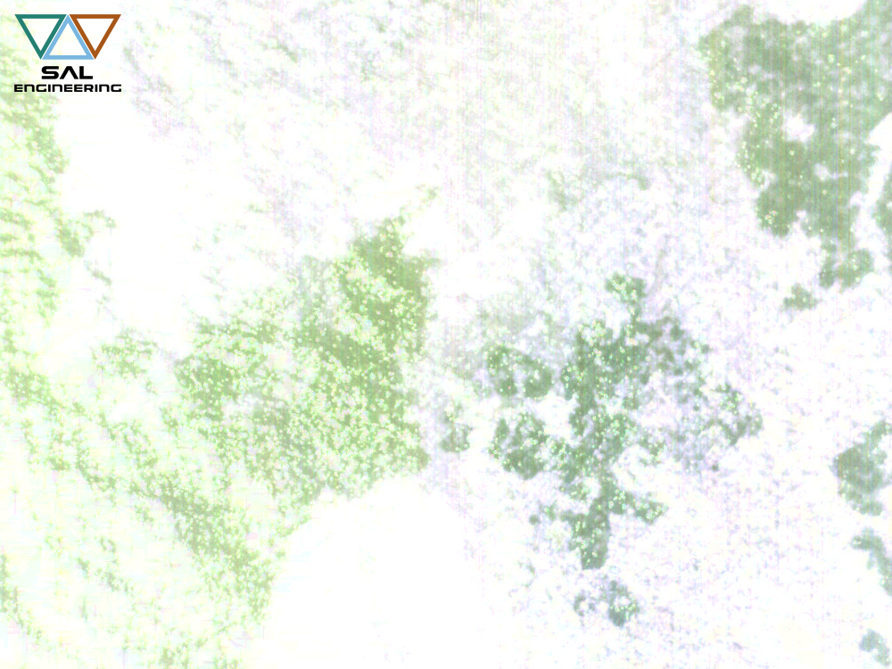
Multispectral data for environmental investigations SAL Engineering, in collaboration with ARPA Campania, carried out some experimental multispectral investigations to research…
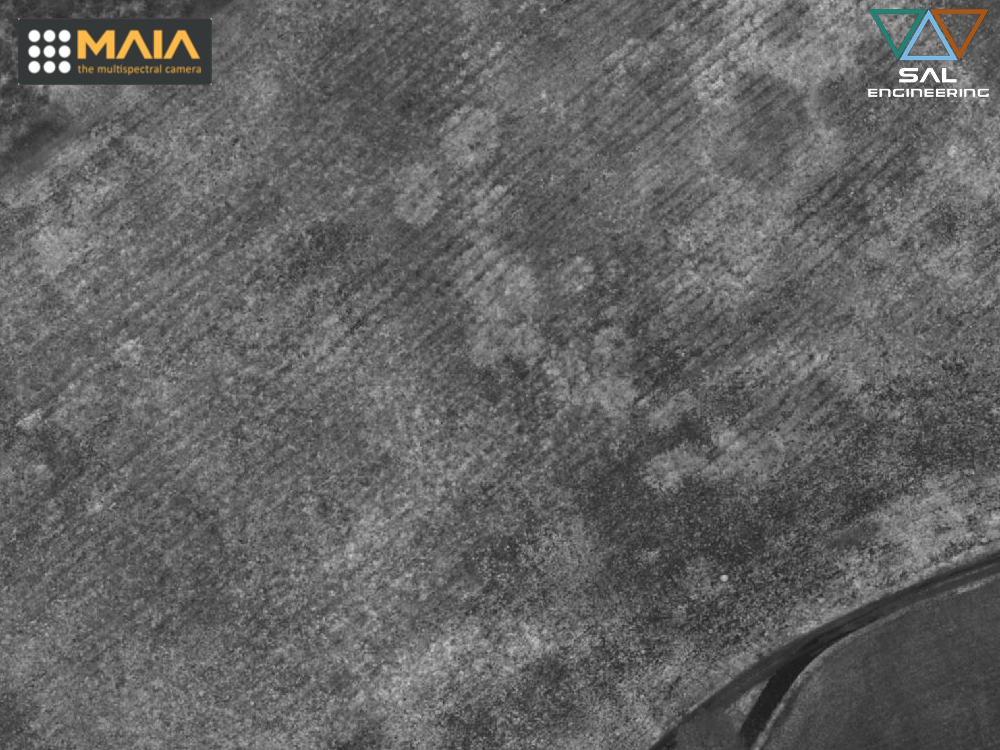
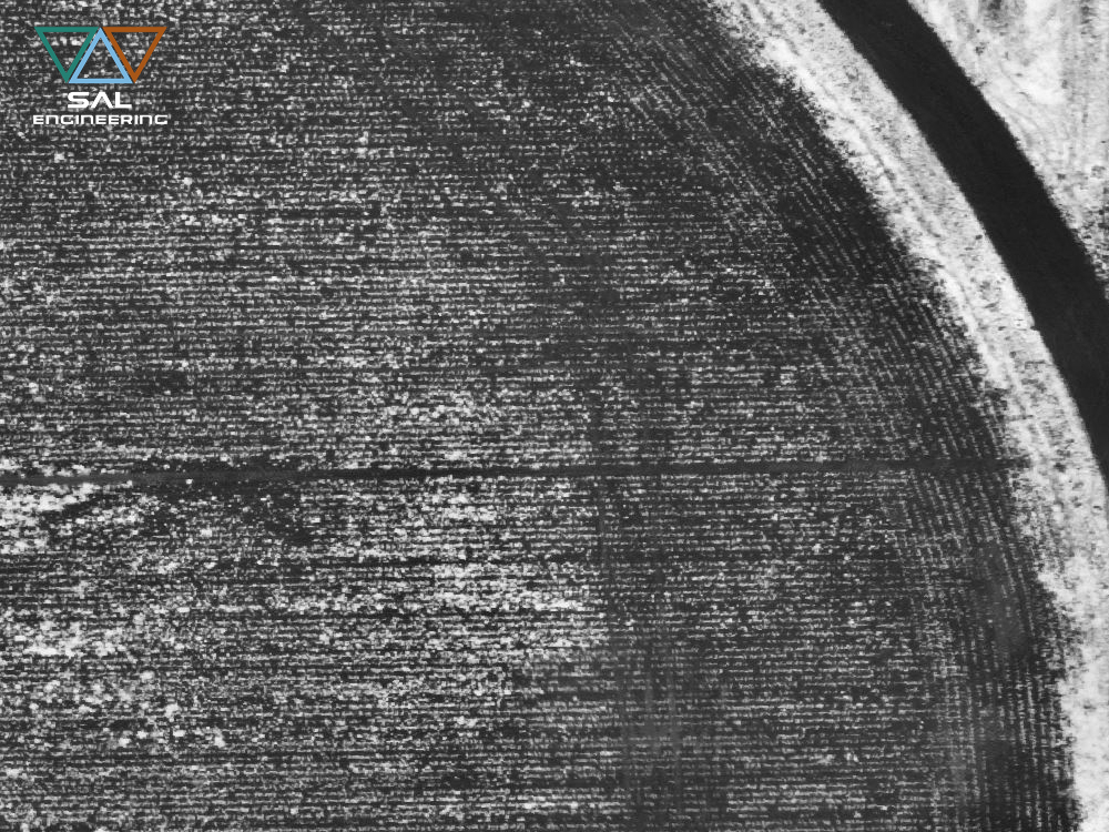
Multispectral survey of turf and grass cultivation The specialized branch of agronomy that deals with the production and maintenance…
MAIA S2 and Sentinel-2: remote to proximal sensing Comparing multispectral data for environmental monitoring and precision agriculture Following the…

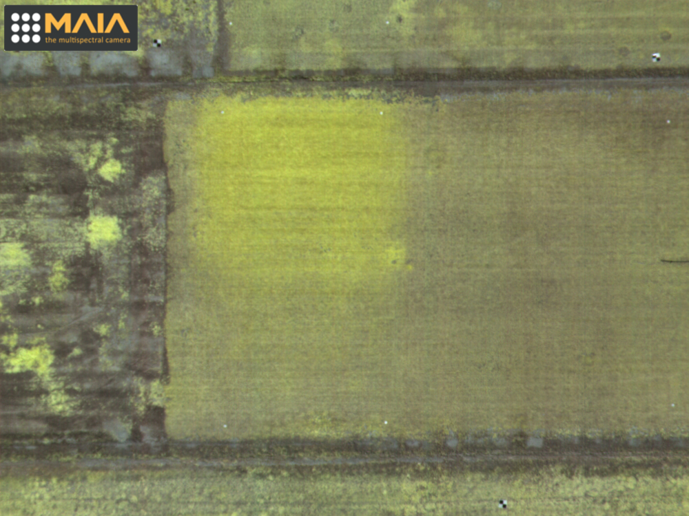
Mapping of anthropogenic stress in vegetation and soil Techniques of acquisition, processing and interpretation of multispectral data related to…
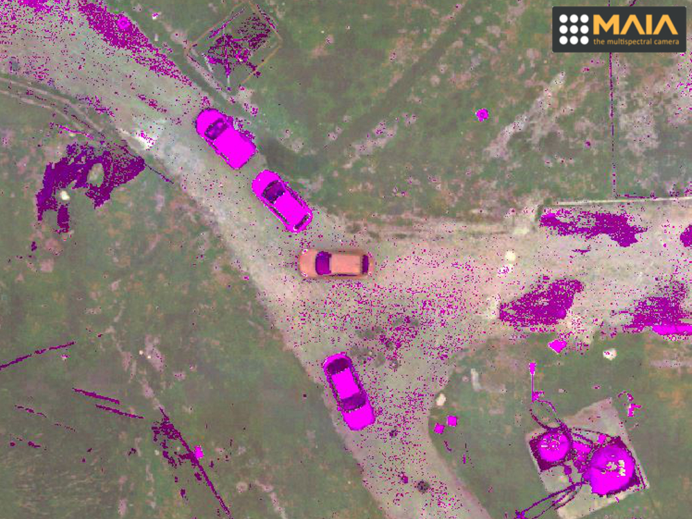
Applications of MAIA the multispectral camera for environmental monitoring The potential offered by RPAS in environmental awareness, prevention and…
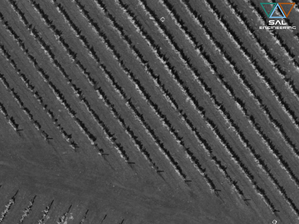
Multispectral survey for precision viticulture In Tenuta Dodici, Massa Marittima (Grosseto), Italy, SAL Engineering conducted a multispectral survey with MAIA,…
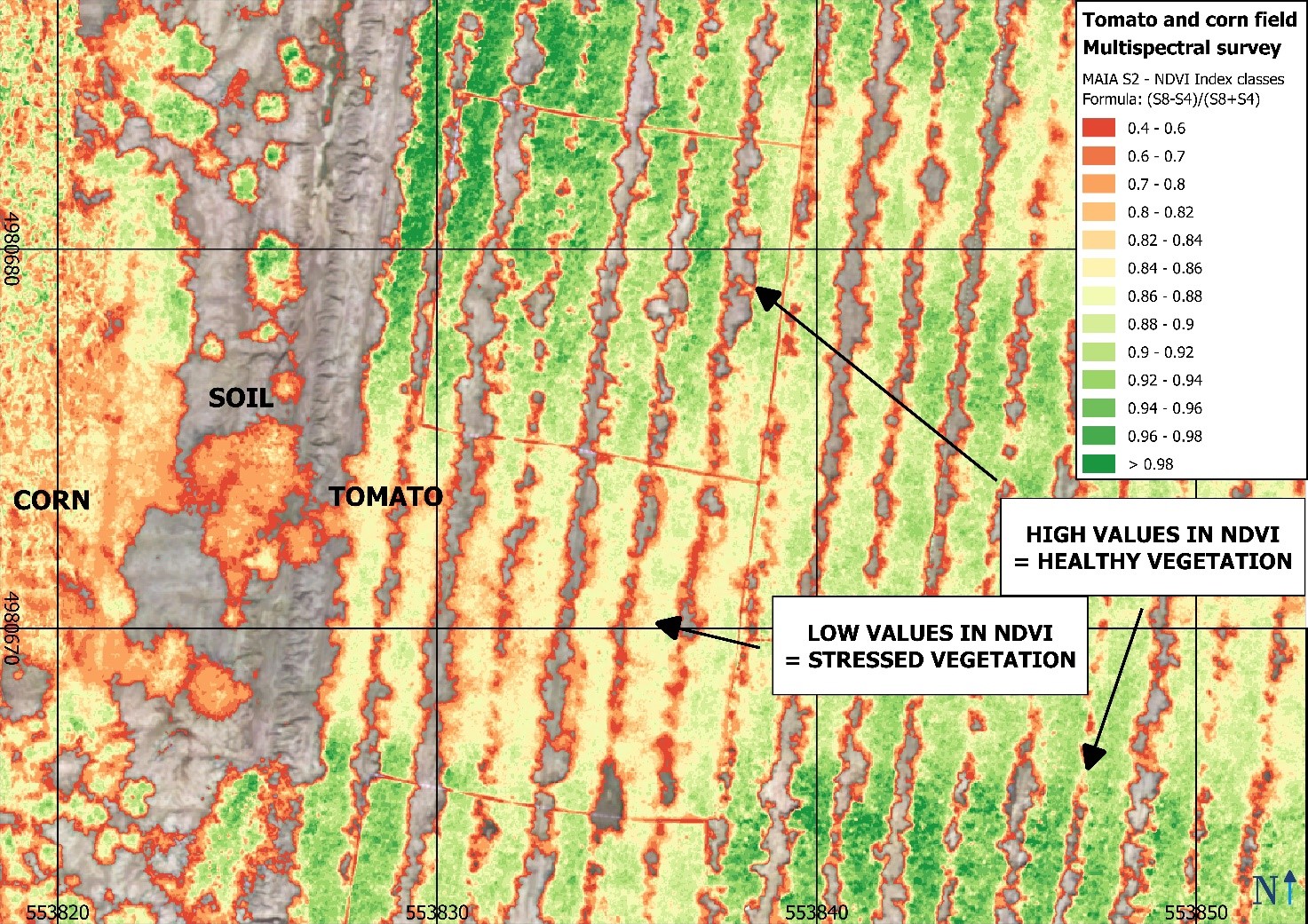
Main applications of the multispectral survey conducted with MAIA are basically related to these field of interest: Agriculture and terrain…