Multispectral data for environmental investigations
SAL Engineering, in collaboration with ARPA Campania, carried out some experimental multispectral investigations to research the possibilities of development of the multispectral survey technology applied to environmental monitoring.
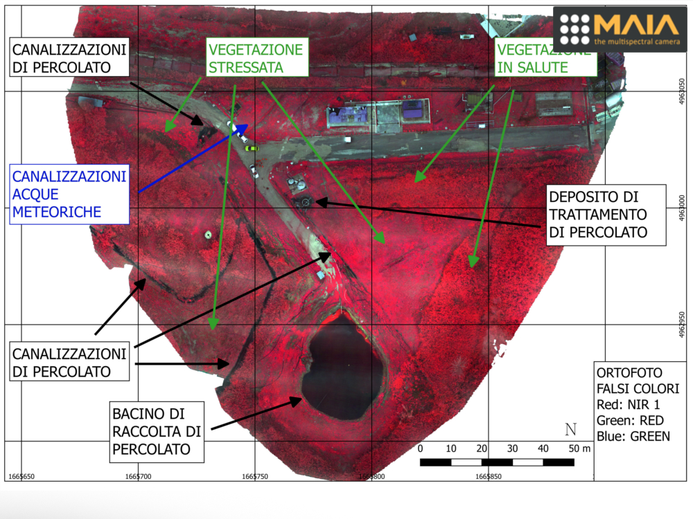 The University of Modena and Reggio Emilia has also conducted studies, research and insights on the data obtained, also through the thesis of Dr. Lisa Mosconi. The purpose of this thesis is to investigate the potential and problems related to the use of multispectral images acquired by sensors mounted on board of remotely piloted aircraft (APR), also called more commonly drones, for applications of environmental sciences and environmental protection.
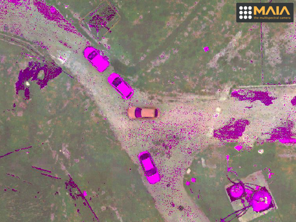
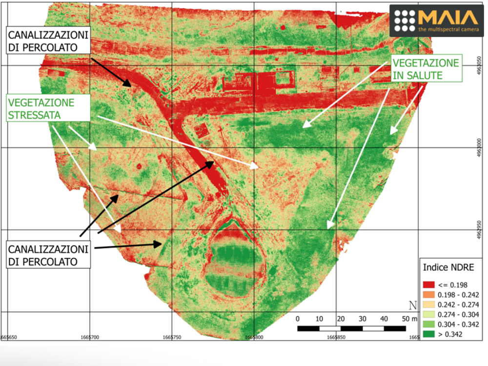 These sensors are sensitive to radiation emitted or reflected on different wavelength intervals of the electromagnetic spectrum, from the visible region (VIS) to that of the near infrared (NIR) and it is precisely this ability to observe beyond the visible, side by side of the ‘high geometric resolution that can be obtained, which makes them particularly interesting for environmental investigations. The acquired data allow to obtain information regarding the stress or vigor of the vegetation, aspects that can also be correlated to other information depending on the territory considered.
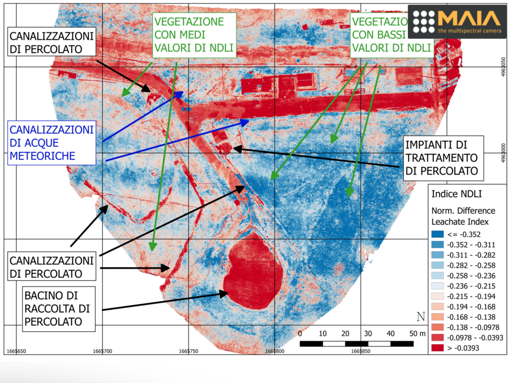
The term “environmental investigations” therefore refers to a series of applications that include precision agriculture and the monitoring of portions of the territory affected by problems of soil and groundwater pollution.
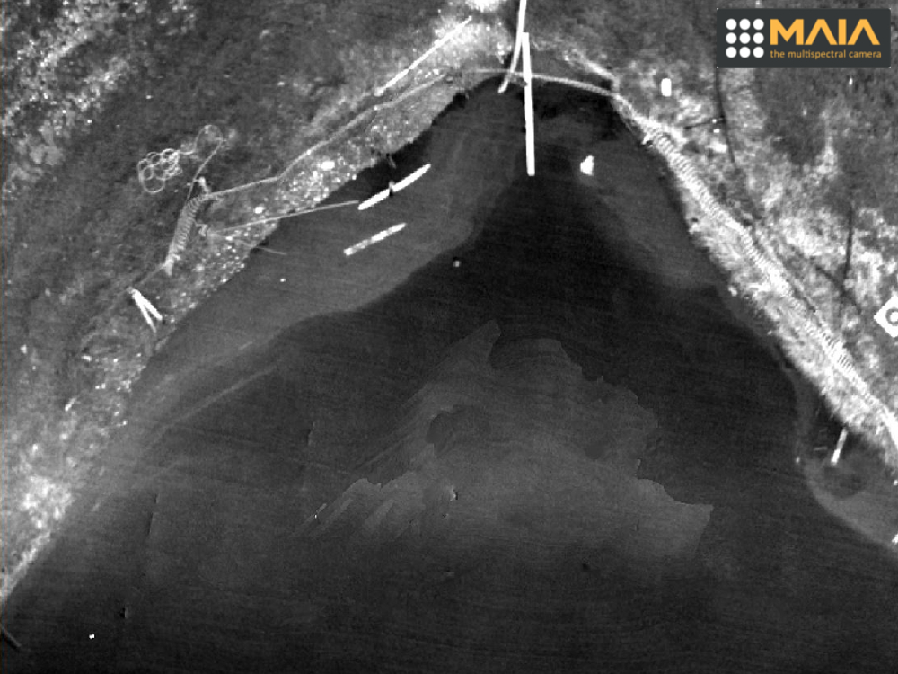
In a waste disposal plant, the multispectral survey provides geometric and radiometric information useful to identify and diagnose any malfunctions in the management of wastewater and sewage produced by the decomposition of waste, to characterize the various infrastructures of the plant, to diagnose any phenological consequences and pathological effects on vegetation affected by contamination processes. In addition, it is possible to evaluate the presence or absence of a pollution by leachate inside the pipes and the surrounding soil.
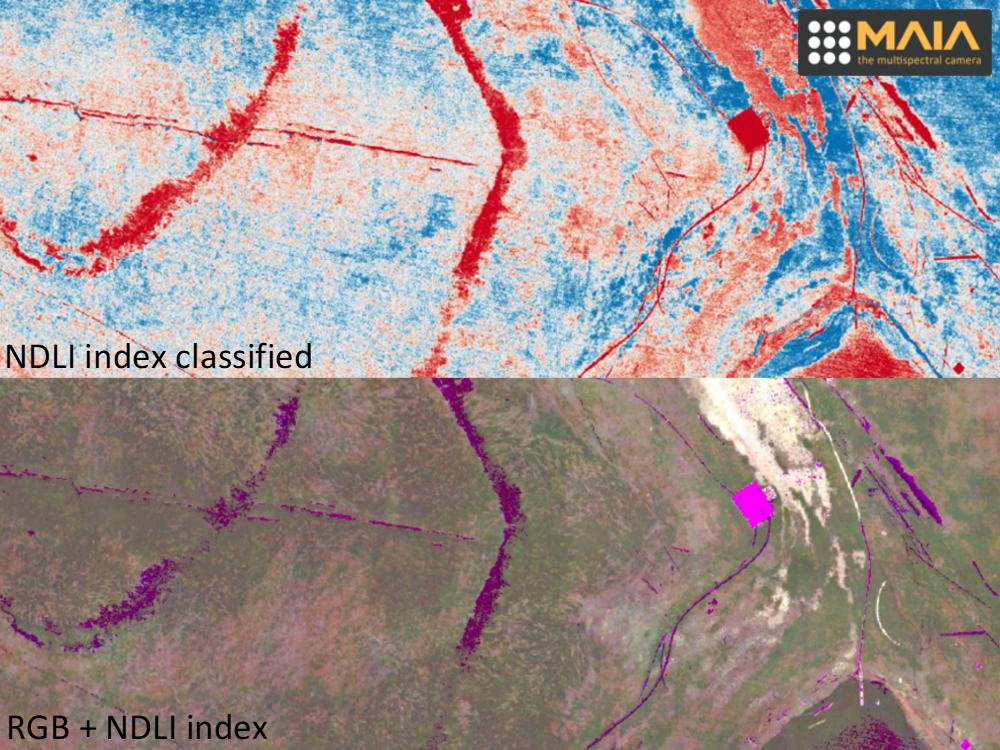
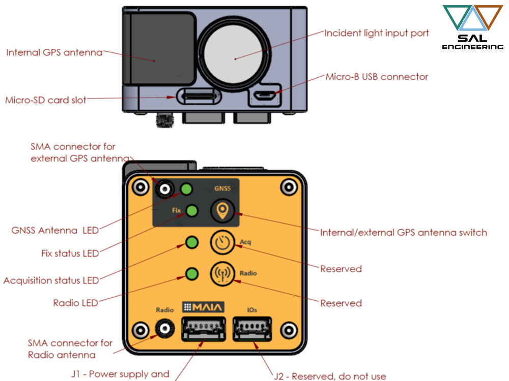
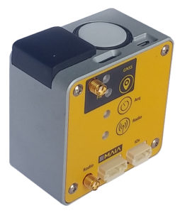
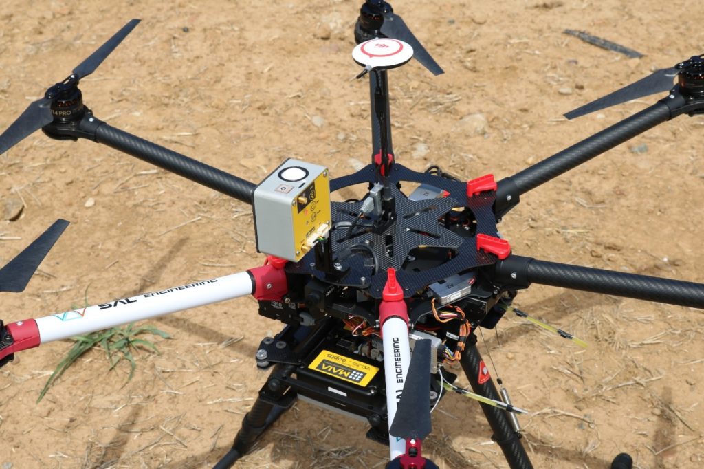
All this was possible thanks to the innovative MAIA multispectral camera developed by SAL Engineering together with Eoptis mounted on board a multirotor drone, which allowed the acquisition of multispectral images, with a degree of detail and accuracy never achieved before.